Claudius Ptolemy (c. 100–c. 170 CE) worked in Roman Alexandria. His Almagest, Geography and other works served as standard textbooks of astronomy, geography and astrology for many centuries.
I know that I am mortal, a creature of a day; but when I search into the multitudinous revolving spirals of the stars my feet no longer rest on the earth, but, standing by Zeus himself, I take my fill of ambrosia, the food of the gods.
—— Greek Anthology (Palatine Anthology) IX.577, attributed to Ptolemy; trans. W. R. Paton (Loeb, 1917)
History
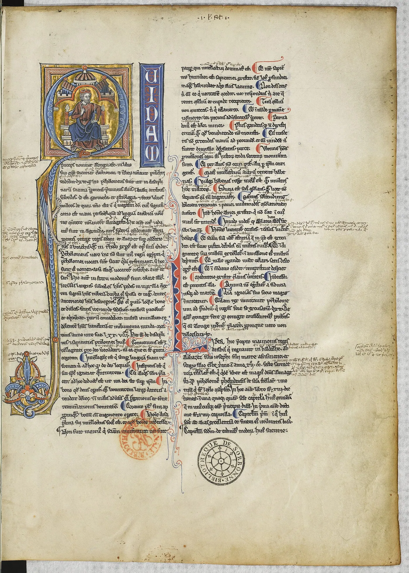
Almost all that is known of Claudius Ptolemy comes from his own works. The observations he reports in the Almagest run from 26 March 127 to 2 February 141 CE, all made at Alexandria. "Claudius" marks Roman citizenship; "Ptolemy" was a common name in Egypt, and he had no tie to the royal dynasty. The Almagest, thirteen books originally titled Mathematical Syntaxis, starts from a central, stationary Earth, builds a geometrical model for the sun, the moon and each planet, derives the parameters from observations and turns them into tables for prediction; it also contains a catalogue of 1,022 stars in 48 constellations. Later came the more practical Handy Tables, the Planetary Hypotheses on the physical arrangement of the heavens, the astrological Tetrabiblos, and works on optics and harmonics. The eight books of the Geography give longitudes and latitudes for more than six thousand places and describe two ways of projecting the globe onto a flat map. They assume a small Earth, 500 stades to the degree or 180,000 stades round, and stretch Eurasia too far east. Translated into Latin by Jacopo Angeli around 1406, the Geography was copied and printed many times, and Columbus's belief that Asia lay a short sail west drew on exactly this tradition of a small Earth and a long Asia.
Connections
Causes2
- The Library of AlexandriainspiresPtolemy worked in Alexandria, heir to centuries of astronomy gathered there
- EratosthenesinspiresHe began the tradition of a gridded geography that Ptolemy's Geography brought to completion
Consequences1
- The Ptolemaic SystemcontributedThe Almagest (c. 150 CE)
Sources
- G. J. Toomer, Ptolemy (Dictionary of Scientific Biography, vol. 11) (1975)
- G. J. Toomer, Ptolemy's Almagest (translation and annotation) (1984)
- J. Lennart Berggren and Alexander Jones, Ptolemy's Geography: An Annotated Translation of the Theoretical Chapters (2000)
- W. R. Paton (trans.), The Greek Anthology, vol. III (Loeb Classical Library) (1917)
Open questionswell attested
- His dates of birth and death are estimates.
- The Almagest was completed after 141 CE, around 150 CE.
- Counts of the places listed in the Geography differ, ranging from about 6,300 to 8,000.
- The short poem attributed to Ptolemy cannot be securely assigned to him.
- Columbus's estimate also drew on other sources, such as al-Farghani's length of a degree and Marinus of Tyre's east–west extent of the known world.
Why it matters
Ptolemy's weight lies in turning Greek astronomy from a set of separate models into a complete textbook that runs from first principles to working tables. Much of his predecessors' work, Hipparchus' above all, survives only through his citations; the Almagest became standard almost at once and, through Arabic and Latin translations, governed astronomy until the end of the sixteenth century. His practice also left a seam. In the Almagest the circles are geometrical devices for computation; in the Planetary Hypotheses he tried to give them physical spheres. The gap between calculation and physical reality was pressed again and again by Ibn al-Haytham's Doubts, the Maragha astronomers and Copernicus. In geography his lasting legacy was method more than numbers: coordinates and projections that let a map be rebuilt from text alone.