The Pacific islanders' body of knowledge for open-ocean voyaging without instruments, steering by stars, swells, cloud, birds, and the temperature and taste of the sea. With it, humans carried out the largest maritime colonization on earth between roughly 1000 BCE and 1300 CE—from Tonga and Samoa out to Hawaiʻi, Rapa Nui, and Aotearoa, across thousands of kilometres of empty water. The mid-twentieth-century vogue for "accidental drift" has been overturned by the voyages of Hōkūleʻa and by computer simulation.
The canoe stays still; the islands move.
—— A common rendering of the etak concept in the Caroline Islands navigational tradition (from the lineage of Mau Piailug)
History
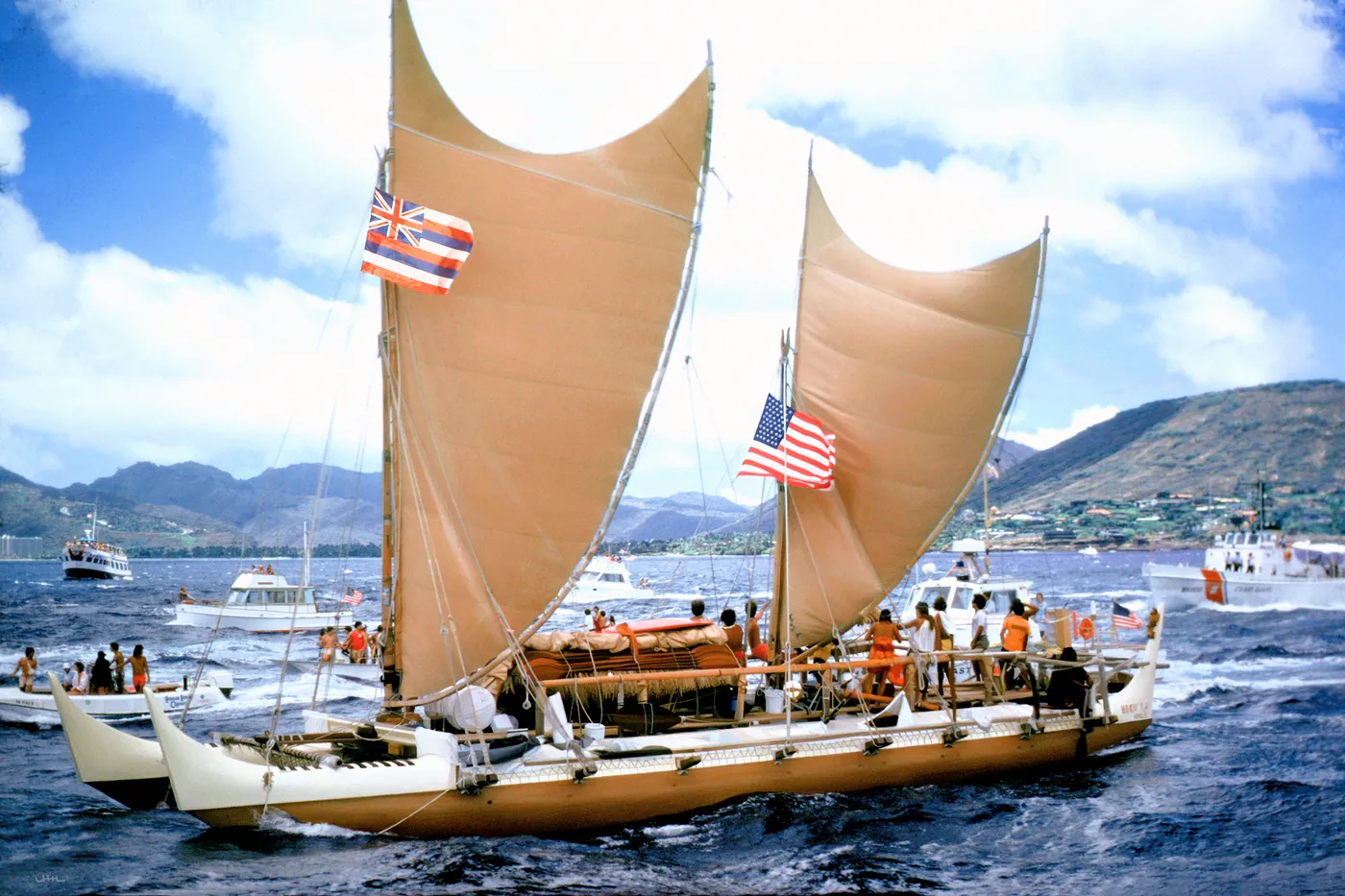
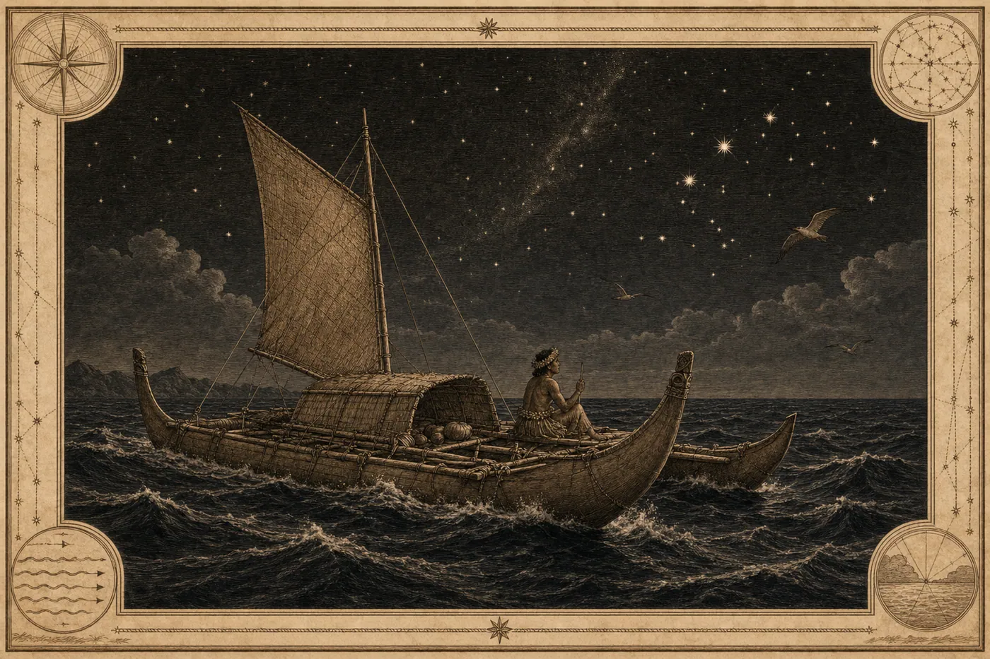
Pacific navigation rested on a set of mutually checking natural cues. At its core is the "star compass": the horizon divided into houses by the rising and setting points of selected stars, the canoe held on course by taking successive stars as they rise or set. By day one reads swells: long waves raised by distant prevailing winds refract and cross around islands, and a practised navigator can distinguish several superimposed swell trains from the motion of the hull, lying down in the canoe to feel them. Signs of nearby land form another set: boobies and terns that fly out at dawn and back at dusk, the green underglow of a lagoon on the cloud base, drifting vegetation, changes in the colour and temperature of the water—together these expand an island's effective diameter from a few kilometres to several tens. The vessels were double-hulled canoes and outriggers, balancing capacity against seaworthiness. In the mid-twentieth century Andrew Sharp argued that the islands had been settled by people blown there accidentally, a view that carried some weight; in 1976 the Polynesian Voyaging Society sailed the reconstructed double-hulled Hōkūleʻa from Hawaiʻi to Tahiti, navigated without instruments by Mau Piailug of Satawal in Micronesia, and the argument collapsed. Later computer simulations of drift confirmed that pure drift could scarcely reach Hawaiʻi, Aotearoa, or Rapa Nui.
Connections
Echoes1
- The CompassechoesTwo unrelated solutions to open-sea orientation: by instrument and by embodied perception
Sources
- David Lewis, We, the Navigators: The Ancient Art of Landfinding in the Pacific
- Ben R. Finney, Hokule'a: The Way to Tahiti
- Polynesian navigation
Open questionspartly uncertain
- Lapita pottery, together with linguistic and genetic evidence, supports deliberate, directed colonization, and Sharp's "accidental drift" theory has been refuted.
- Settlement dates for the island groups (notably about 1250–1300 for New Zealand, while Hawaii is more disputed) are continually revised as dating techniques develop.
- The specific form of the "star compass" varied between archipelagos and cannot be generalized.
- The epigraph is a common rendering of oral teaching and is not taken from any particular document, as noted here.
Why it matters
Polynesian navigation challenges the assumption that knowledge counts as knowledge only when written. It has not a word of documentation; it lives in mnemonic chant, in decades of apprenticeship aboard the same canoe, in bodily memory—and its precision sufficed to find an island ten kilometres across from thousands of kilometres away. To call it "primitive navigation" is a category error: it is not a stripped-down version of instrument navigation but a complete alternative solution, using the human body as sensor and the whole ocean as frame of reference. The rise and fall of Sharp's hypothesis is worth remembering too. It was not a malicious theory but an inference from the premise that people without instruments could not have voyaged deliberately. When we cannot see the vehicle of a body of knowledge, it is easy to conclude that the knowledge is not there. What refuted it was not argument but an actual voyage.